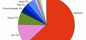
 The world is running out of drinking water! This is exacerbated by the increasing population levels, global warming, and the increasing pollution levels which are polluting the scarce water resources we currently have. How do we manage this crisis? How do we better utilize the water resources we currently have in order to save some water for future generations?
Managing the global water crisis
I believe that it will take a holistic approach to manage and preserve the limited water resources we currently have. We need to slow down global warming, decrease water pollution, decrease the amount of water heavy industry uses, and increase the amount of water available for domestic use.
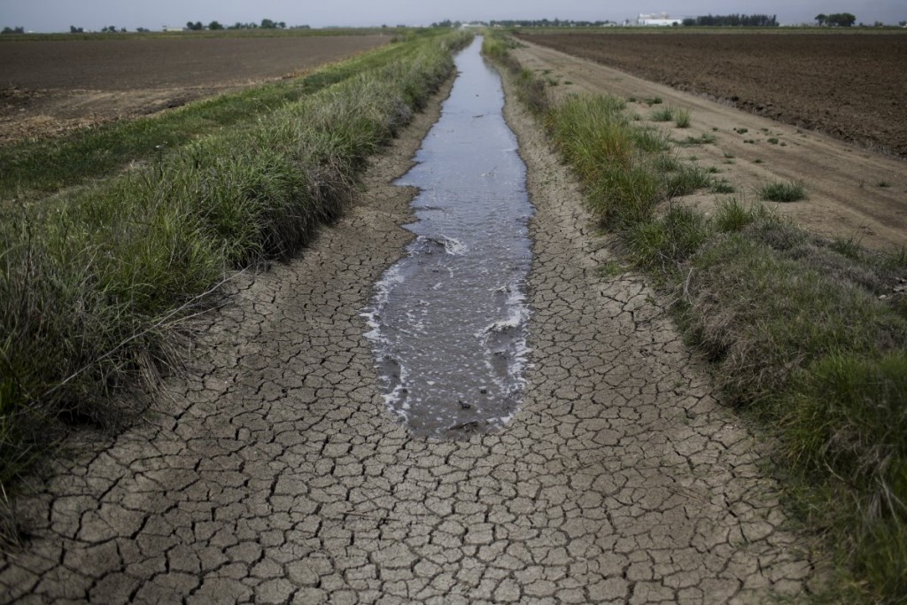
Part of managing a water crisis is to keep a history of the water levels of the dams in the various parts of the world. One of the best ways of keeping this history is to record the high water and low water levels of the dam at any given time. If statisticians plot the rainfall data, the population statistics, as well as the current levels of the dams in any area, they will be able to help predict the rate at which the water in the dams will run out. This will enable governmental organizations to know when to tell the local population to reduce water consumption, or face the risk of running out of water.
What is a camera drone and how can it help record the water levels of the dams?
A camera drone is an Unmanned Aerial Vehicle (UAV) that either has a camera attached to it, or a special bracket allowing a camera to be fitted onto the drone. In other words, a camera drone is a flying robot with a camera attached to it. Camera drones can be piloted in one of three ways:
- Remote control
- Computer
- Preprogrammed software which sends the drone on a predetermined flight path.
A camera drone is designed to take aerial photographs (either video or stills) of a landscape. A remotely controlled drone can be sent up to photograph a dam and its surrounding landscape. It is fairly easy to see where the high water mark is and where the low, or current, water mark is. If the camera drone is sent up to take photographs of a dam at regular intervals, a visual history of the levels of the dam in question can be kept.
What happens to these photos?
One of the ways to determine by how much the water levels in a dam have increased or decreased, is to superimpose these photographs over a topographic map of the area. The contour lines on the map, coupled with the photographs, will give a good indication on the water levels in the dam. By repeating this exercise over a period of time, a history of the changing water levels in the dam can be built up, allowing for the better management of the water left in the dam.
Final words
Drones, or Unmanned Aerial Vehicles, can be used for a multitude for purposes, including environmental management. In a post-modern world, where we are running out of natural resources, it is crucial to use any viable means to manage our natural resources for the generations to come.